|
The US Department of Transportation has released a "Lessons Learned" report updating its experience supporting rail to trail conversion projects over the past 20+ years. The report attempts to capture best practices by addressing common concerns, challenges and factors to consider before, during, and after rail to trail projects.
A summary and full report can be found at https://www.fhwa.dot.gov/environment/recreational_trails/publications/rwt2021/. The Rails to Trails Conservancy also has provided a summary article at https://www.railstotrails.org/trailblog/2021/june/25/new-usdot-report-provides-25-years-of-lessons-learned-for-rails-with-trails/?utm_source=linkedin&utm_medium=social&utm_campaign=trailblog. 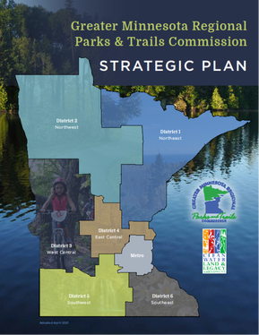
For additional information, contact System Plan Coordinator Joe Czapiewski at [email protected] or Executive Director Renee Mattson at [email protected].
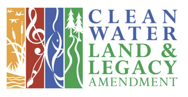
(May 13, 2021 – DULUTH, Minn.) – An updated strategic plan for guiding future development of Greater Minnesota’s regional parks and trails, including ensuring those areas are inviting and accessible to underserved communities, is now available to the public from the Greater Minnesota Regional Parks and Trails Commission (GMRPTC). Established in 2013, the Commission identifies regionally significant parks and trails in Minnesota’s 80 counties outside the seven-county metropolitan area and provides grant recommendations to the State Legislature. Funding comes from the Parks and Trails Legacy Fund, part of the Clean Water Land and Legacy Amendment approved by state voters in 2008. “Many people have worked hard to build a system of regional parks and trails that all Minnesotans can be proud of,” said GMRPTC Board Chair Thomas Ryan, adding that to date the organization has designated 64 parks and trails as regionally significant. “This updated strategic plan ensures we have consistent, detailed criteria for creating a seamless outdoor recreation system that integrates with those of our partners at the Department of Natural Resources and Metropolitan Council Regional Parks.” This 86-page plan, filled with photos, maps and graphs, is designed to help local parks and trails agencies around Greater Minnesota develop effective proposals for regional designation and funding. As more agencies prepare their initial or updated Master Plans, they can look to this strategic plan for clearer standards and tools that will help tell their regional story. The plan includes criteria for making parks and trails inviting and accessible to underserved communities and people with mobility or other challenges, identifies new ways of monitoring and measuring success, and more. The entire strategic plan may be found at www.gmrptcommission.org. Citizens may also ask to have a printed version mailed to them by contacting GMRPTC Executive Director Renee Mattson at [email protected]. “Achieving designation requires an applicant to work through a detailed process that ensures each park or trail is of the quality Minnesotans and visitors expect when enjoying regionally significant facilities. The strategic plan provides guidance to help applicants think broadly and boldly about not only what the facility is now, but what it could be,” said Mattson. She added that the GMRPTC will hold a series of online workshops in June to help agencies understand the new plan’s contents. Information about workshop times and dates is at https://www.gmrptcommission.org/2021-district-workshops.html. Since its inception, the GMRPTC has awarded more than $52 million in grants to regional parks and trails across Greater Minnesota. Combined with $20 million in community investments, grants are used to fund infrastructure improvements, land acquisitions, new facilities, trail rehabilitation and more.
National Park service assistance for park and trail planning at no cost - Applications Due June 306/14/2019 The National Park Service announces that it is now taking applications for community assistance in planning park, trail and conservation projects through its Rivers, Trails and Conservation Assistance Program. Apply by June 30th to receive technical assistance with project elements, such as: park & trail planning, visioning & goal setting, partnership building, organizational development, resource analysis, community outreach, facilitation, priority setting, consensus building, and developing funding strategies.
If accepted, your project team will receive a year or more of assistance from an experienced Outdoor Recreation Planner at no cost. Local, regional & state governments and non profit organizations as well as informal community groups are welcome to apply. More information is available on the attached video and on the links to our website, or contact Holly Larson at: holly_larson@nps.gov or 651-293-8444. Application Process Five Minute Introductory Video
Since 2015, city and county parks and trails managers in Greater Minnesota have been using the Greater Minnesota Regional Parks and Trails Commission’s Data Management System (DMS) to apply for designation to the regional system. The DMS is an online-only application portal that manages all three steps of the application process – Designation Applications, Master Plans, and Funding Applications.
The DMS can be found on the Commissions website here: https://www.gmrptcommission.org/applications.html. Having an online application system has eliminated costly and confusing paper applications while providing more up to date and useful information for the user. “The online DMS portal gives us a way to make sure applicants have real time, on-screen access to the instructions and samples they need. Our goal is to help applicants be as successful as possible without barriers caused by the system itself,” said Joe Czapiewski, GMRPTC System Plan Coordinator. “Applicants are even encouraged to use the system’s messaging feature to more effectively stay in touch with Commission staff.” Greater Minnesota cities and counties can access Legacy parks and trails funding through a three-step system. First, submit an application for designation as a regional park or trail in the DMS. This simple application asks you to describe how you think your park or trail meets the Commissions criteria for regional designation. Tutorials and guidelines for applications and master plans can be found in the Application Toolbox at https://www.gmrptcommission.org/application-toolbox.html. If you can’t find answers there, contact Commission staff for further assistance. If the facility is found to have merit, applicants will then complete a qualified unit Master Plan. The purpose of the Master Plan is to lay out the vision and details necessary to fully score the plan against the criteria and to create a guide for the development of the park to its fullest potential. A number of new sample Master Plans have recently been uploaded to the application webpage. At the end of a thorough, multi-step evaluation, the Commission may designate the facility as a part of the regional system. A successfully designated park or trail may then apply for funding. Funding applications are open on the portal starting approximately April 1st every year, and must be submitted by the end of July. Complete instructions, budget worksheets and a resolution template are available in the toolbox. Check out the Commission’s annual legislative report (https://www.gmrptcommission.org/2019-report.html) for more information about past funding recipients! Questions? Please contact Commission staff or your Commissioners (https://www.gmrptcommission.org/commission-members.html) to find out more. 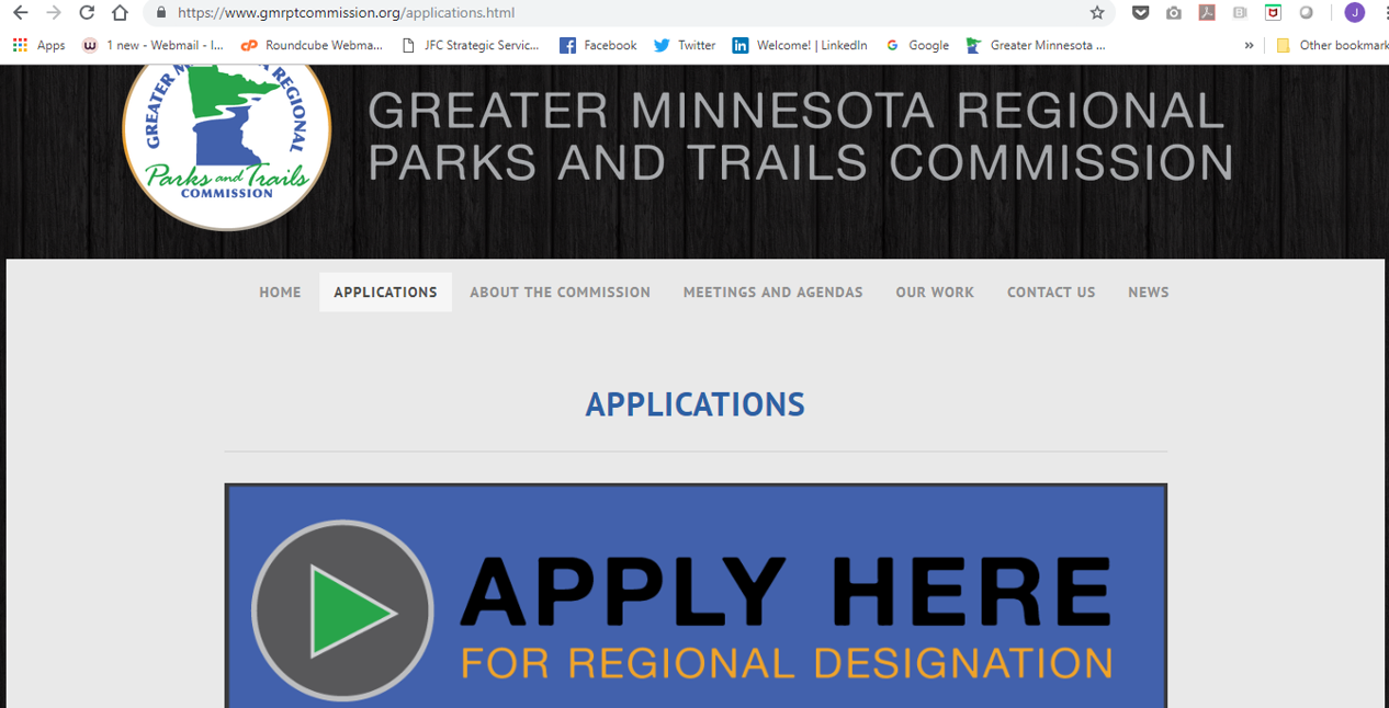
The Trust for Public Land has released their ParkServe analysis tool, a comprehensive standardized database of local parks in nearly 14,000 cities, towns and communities across the U.S. ParkServe uses available GIS information to conduct an analysis of the distance between population and parks, defined as a 10 minute walkable service area among other criteria.
This analysis is a great tool for a broad look at the potential need for additional park space in your community, or to compare your community with others. We recommend using this as an initial analysis to explore your system, but also developing your own criteria that meets local public values for a more in-depth GIS analysis. Park Serve Analysis Tool LINK The National Park Service's Rivers, Trails and Conservation Assistance Program is now taking applications. If your project is accepted, staff time is provided free of charge for a year or more to assist with planning new parks, trails or conservation areas; or to help with other outdoor conservation or outdoor recreation related projects. The application form, guidelines, and a description of current projects can be found in the attached links. The application is relatively simple, but the application deadline is approaching: Applications must be e-mailed or postmarked by June 30th. Click here for more information. The trail planning, design, and development guidelines presented in this manual are the result of a multiyear effort by MN DNR. The goal of the project was to develop a consistent set of guidelines and common language for developing motorized and non-motorized trails at the local, county, regional and state level. The guidelines take into consideration and build upon past practices common to Minnesota.
This informative Guidelines volume received the Coalition for Recreational Trails' 2007 Annual Achievement Award for trail projects funded through the Recreational Trails Program of the Federal Highway Administration. Print Version (Order) Download Version (Password Required) IMBA's online resources on trail building emphasize the importance of well-planned trail systems, and offer advice for how to create a trail system plan that can create good experiences for diverse visitors, minimize user conflict and environmental damage, and hold up in the future.
IMBA's trail design guidelines and manuals are available for sale at https://www.imba.com/resources/trail-building This book provides time-proven strategies for the building and maintenance of sustainable and quality OHV trail systems. These trail systems are environmentally, politically, and economically sustainable trails which the riders want to ride. Guide features: OHV enthusiasts' needs and desires; The 4Es of OHV management: Engineering, Education, Enforcement, and Evaluation; Developing the vision; System and route planning; Trail design; Active management. The trail planning, design, and development guidelines presented in this manual are the result of a multiyear effort by MN DNR. The goal of the project was to develop a consistent set of guidelines and common language for developing motorized and non-motorized trails at the local, county, regional and state level. The guidelines take into consideration and build upon past practices common to Minnesota.
This informative Guidelines volume received the Coalition for Recreational Trails' 2007 Annual Achievement Award for trail projects funded through the Recreational Trails Program of the Federal Highway Administration. Guidelines are available for purchase from MN Bookstore: http://www.dnr.state.mn.us/publications/trails_waterways/index.html |
Categories
All
Archives
June 2024
Subscribe to
receive blog posts in your email. |
||||
 RSS Feed
|
Questions? Contact [email protected]
© 2023 Greater Minnesota Regional Parks and Trails Commission. All Rights Reserved. |
|